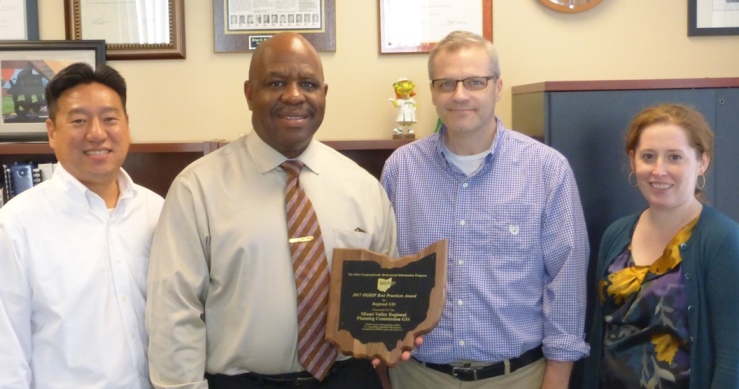
Dayton, OH - The Miami Valley Regional Planning Commission (MVRPC) received the Ohio Geographically Referenced Information Program’s (OGRIP) 2017 Best Practices Award for its Geographic Information System (GIS) program.
The OGRIP is the state’s coordinating body consisting of a 15-member, governor-appointed council for state and local governments. The OGRIP Best Practices Award is presented annually to entities which are implementing GIS in a manner consistent with OGRIP’s goals and objectives and integrate GIS and spatial data into the daily operations of their program.
MVRPC has been using GIS since the early 1990s to manage, analyze, and visualize various geospatial datasets of the Miami Valley Region. MVRPC’s GIS Program focuses on:
- Facilitating better decision-making during regional planning activities;
- Sharing planning-related geographic data and information to various stakeholders including the general public; and
- Playing a leadership role in promoting the use of GIS with technical capacity and expertise in the Region.
“Over the years, MVRPC’s GIS program has evolved following the advancement of GIS technologies. More recently, our GIS program has focused on using more web and mobile technologies,” explained MVRPC’s Executive Director, Brian O. Martin, AICP. “These technologies have allowed us to share data and information in a way that’s easy for our residents and visitors to use.” continued Martin.
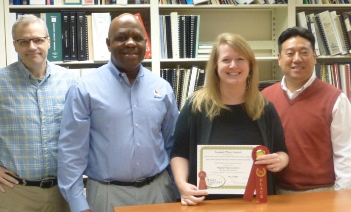
Additionally, MVRPC received the Second Place Award in the Digital Map category for its Miami Valley Equity Regional Profile. Developed in partnership with nationally-recognized Kirwan Institute for the Study of Race and Ethnicity at the Ohio State University, the Equity Profile presents information regarding inequity in the Miami Valley. Martin explained “Inequity occurs when parts of the region lose reasonable access to employment, retail, education, and healthcare which requires residents in these areas to spend more time and more of their income on transportation to meet their basic needs.”
The two awards were presented during the 2017 Ohio GIS Conference held during September 25 – 27 in Columbus with more than 400 GIS professionals in attendance. The Ohio GIS Conference is sponsored by the County Engineers Association of Ohio (CEAO), the Ohio Geographically Referenced Information Program (OGRIP), and the Ohio Chapter of the Urban and Regional Information Systems Association (URISA).
Established in 1964, the Miami Valley Regional Planning Commission promotes collaboration among communities, stakeholders, and residents to advance regional priorities. MVRPC is a forum and resource where the Board of Directors identifies priorities and develops public policy and collaborative strategies to improve quality of life throughout the Miami Valley Region. MVRPC performs various regional planning activities, including air quality, water quality, transportation, land use, research and GIS. As the designated Metropolitan Planning Organization (MPO), MVRPC is responsible for transportation planning in Greene, Miami and Montgomery Counties and parts of northern Warren County. MVRPC's areawide water quality planning designation encompasses five (5) counties: Darke, Preble plus the three MPO counties.
For more information about MVRPC’s GIS program, go to http://www.mvrpc.org/data-mapping/geographic-information-systems-gis-mvrpc.
For more information about Miami Valley Equity Regional Profile, go to http://www.mvrpc.org/regional-planning/regional-profiles/miami-valley-equity-regional-profile.
For information about the Miami Valley Regional Planning Commission, please contact Executive Director, Brian O. Martin, AICP, at bmartin@mvrpc.org, or call 937.223.6323.
###

Photo L to R: Martin Kim, Director of Regional Planning; Brian O. Martin, Executive Director; Tom Harner, GIS Coordinator; and Kathryn Youra Polk, Senior Planner

Photo L to R: Tom Harner, GIS Coordinator; Brian O. Martin, Executive Director; Lynn Zuch, Principal Planner; Martin Kim, Director of Regional Planning
